Mackay. History of Monkwearmouth
History Of Monkwearmouth
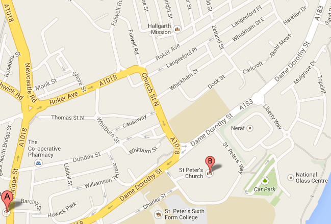
Thomas Street - middle left on the map.
Barclay Street- a crescent- bottom left on the map
Dame Dorothy Street - running bottom left to top right on the map
Victor Street- was between Harelaw Street and Dame Dorothy Street-top right on the map.
In the early part of the 1800's, Sunderland overtook Newcastle as the nations largest shipbuilder. The building of wooden ships continued alongside the new iron ships from the 1850's.
Monkwearmouth Shore was an area of coastal flats.
At this time it was a busy, thriving area with numerous Inns and Beerhouses.
The rich had fled to Monkwearmouth Village, away from the docks. Here they built Mansions, alongside the older farmhouses, in Roker Avenue, Fulwell Lane, Church Street and Barclay Street.
From 1820, fashionable new streets were built south of Monkwearmouth village centre within the Shore District, including Barclay Street which was (and still is) a U shaped crescent of Barclay Street and Barclay Street Back where dwelt 'those in higher ranks in society'
This was short lived, however. The development of Monkwearmouth Shore for the building and launching of ships during the century was fast and haphazard. Engineers building near the Strand slipway had to dig through 30 feet of ballast to reach solid rock and the spoil heaps of sand ruined the area. St Peters Church had been built on a hillock, but found itself in a hollow, its churchyard surrounded by piles of sand. The nearby workhouse in Zetland, now Dame Dorothy Street, was abandoned and engulfed when sand made it uninhabitable.
In the nineteenth century, the industries were thriving and expanding.
The population of the three parishes - Monkwearmouth, Bishopwearmouth and Sunderland grew from 34,000 in 1821 to 56,000 by 1841 and much of this increase was in the two Wearmouth parishes.
There was a Asiatic cholera outbreak in 1831/2 which brought notoriety to Sunderland, for it was the first appearance of the disease in Britain and triggered a National epidemic. In 1824 there was a measles epidemic which claimed the lives of 1 in 86 of the population.
A look at the parish records for the period shows infant death after infant death, many from the same families.
In 1845 only 670 of 6,086 houses had piped water. Monkwearmouth shore had just one public well, Potts pump, for the use of which every resident paid a fee to Sir Hedworth Williamson.
Church Street's finest residences were later converted to shops.
The ballast hills were so well established that they had names and were built on.
In the latter part of the century, Monkwearmouth Shore was largely demlished to make way for shipyards. St Peters Church which was the christening, marriage and burial place for so many of our Mackay and Scott families was overshadowed by riverside cranes through much of the 20th century.
I remember visiting the area in the 1990's and being dismayed by the bleak dereliction of the silent Industrial wasteland it had become.